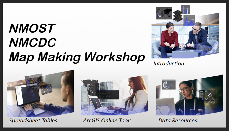
I frequently assisted the New Mexico Community Data Collaborative in providing training on map making tools and strategies. The map making workshop is a work in progress that will enable NMCDC to offer online training to complement their in-person workshops. The course will integrate the below Articulate Storyline program in a blended learning approach in a Canvas learning management system.
I have created a variety of mapping applications for The New Mexico Out of School Time Network that assist in the analysis, communication and collaboration of community organizations and schools dedicated to providing after school opportunities.
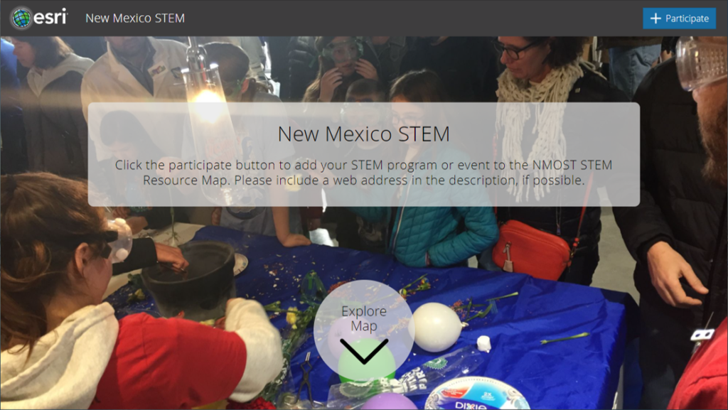
New Mexico STEM Crowdsource map
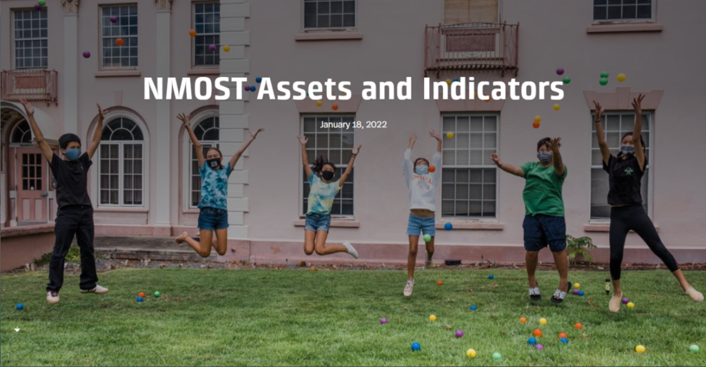
New Mexico Out of School Time Network Assets and Indicators Map 2.0
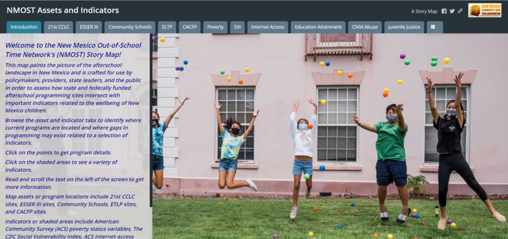
New Mexico Out of School Time Network Assets and Indicators Map 1.0
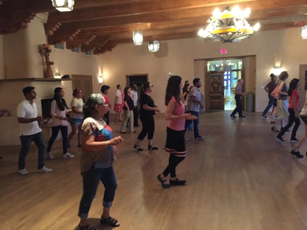
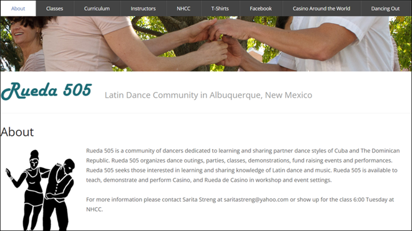
Prior to the pandemic, I enjoyed teaching Latin dance classes at the National Hispanic Cultural Center. I created a website for a community of dancers that organize classes and a variety of social gatherings. I’m looking forward to returning to the dance floor.
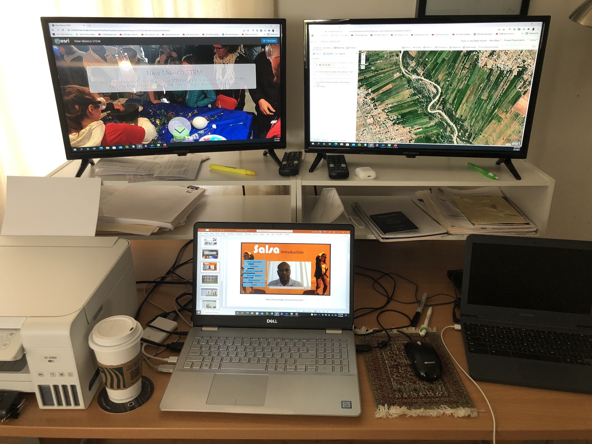
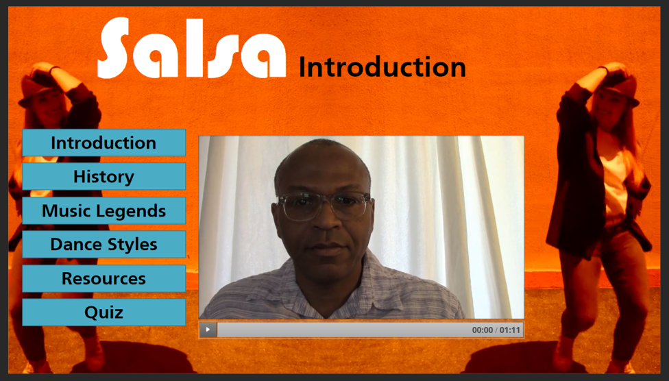
The Salsa program was created to learn Articulate Storyline eLearning software. The program was first created in Adobe Flash and then reconstructed in Adobe Captivate and Articulate Storyline.
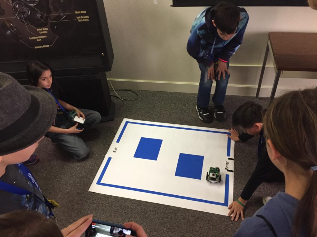
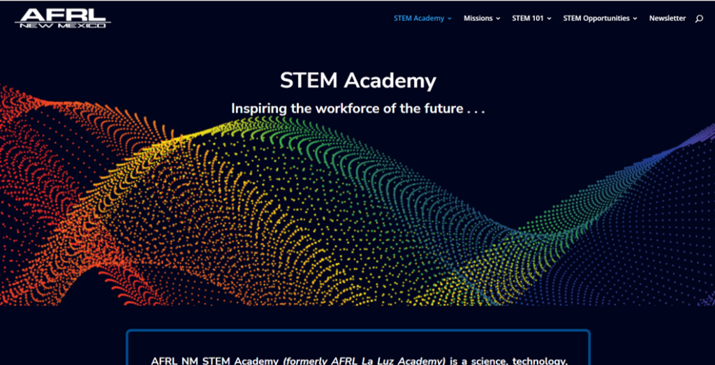
As a STEM Outreach specialist, I taught middle school STEM programs and was the coordinator of the Robotics Challenge. I developed new computer science and robotics curriculum. I enjoyed creating fun STEM experiences for children. I was one of the team members responsible for creating the STEM Academy website and transforming the programs to be able to provide STEM activities throughout the pandemic at a distance.
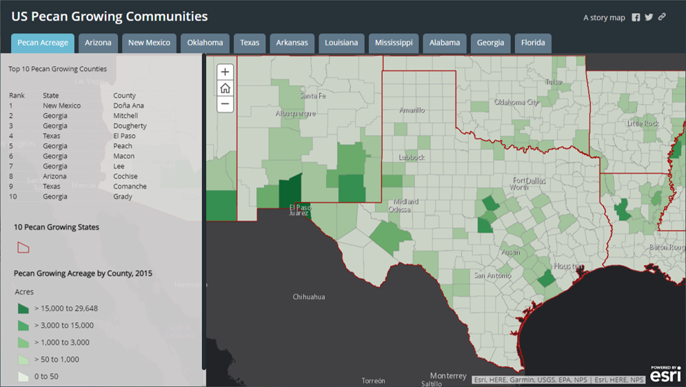
I assisted in the research and mapping of food environment related data. I also assisted in facilitating the use of map resources by community organizations. In the below map application, remote sensing data was used to calculate acreage of pecan trees.
I frequently assisted journalists in environment related research. The below map application enables viewers to zoom in to locations that are often discussed in reports available in paper or pdf form. The map application combines data obtained from the USEPA and the USGS.
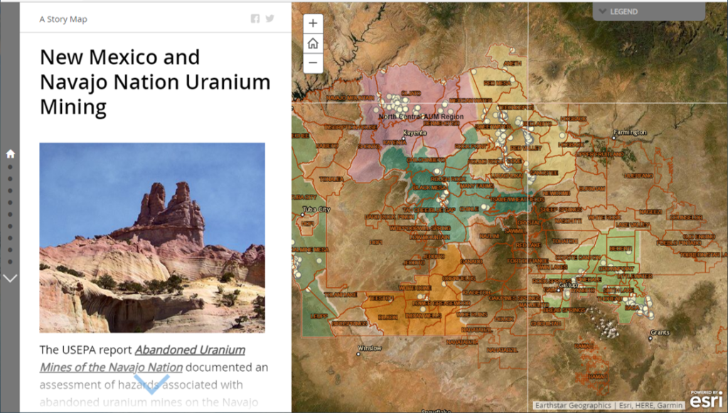
New Mexico and Navajo Nation Uranium Mining
I have always been interested in experimenting with instructional technology tools. My current interests are in developing mapping app tours.
The UNM Arboretum Tour # 1 is the first of 2 to 4 other campus tours.
