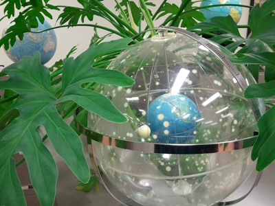
I returned to school to study geography after a 10 year career in instructional technology. I also took classes in art, computer science, 3D game development and other technologies. Geography and education were always at the intersection of my learning interests.
As a GIS Analyst, I worked with public health epidemiologists, journalists and community organizations to design and develop geographical information systems.
Most of my work was related to social determinants of health.
I developed multiple projects for the New Mexico Out of School Time Network (NMOST).
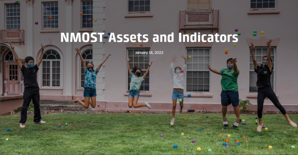
NMOST Assets and Indicators 2.0
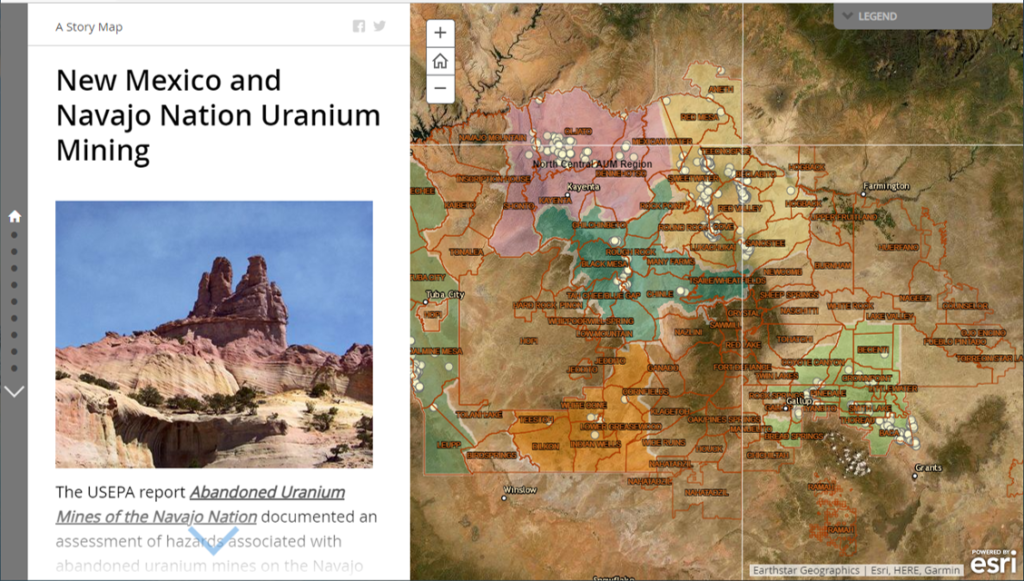
I frequently assisted journalists in environment related research. The below map application enables viewers to zoom in to locations that are often discussed in reports available in paper or pdf form. The map application combines data obtained from the USEPA and the USGS.
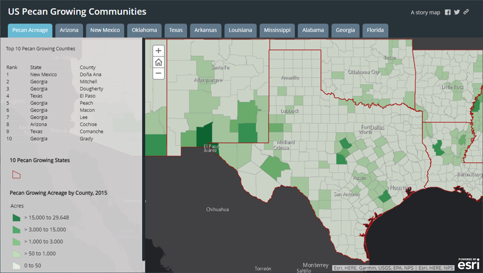
I created an assortment of map applications through a grant to map the New Mexico food environment. A pecan tree provider was interested in growth and production patterns in the US. Remote sensing data was used to estimate acreage of pecan trees by county.
Some geography projects were developed to be integrated into STEM curriculum. The presentation of the balloon mapping project outlines how to make maps using photographs taken from a helium weather balloon. The project was developed to introduce children to remote sensing and map making.